
Population 3,807 (2006) | East Blenheim Northeast Mayfield, Marlborough | |
 | ||
Springlands is a suburb to the west of Blenheim's central district. It is located on and around SH 6 (Nelson Street), the main road to Renwick. It has a tavern, video shop, various takeaways, and a superstore.
Contents
Map of Springlands, Blenheim, New Zealand
The population was 3,807 in the 2006 Census, an increase of 357 from 2001.
Education
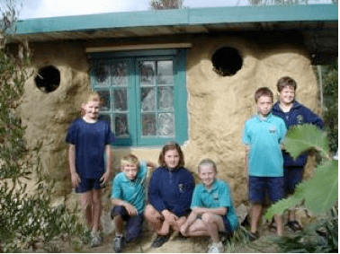
Springlands School is a coeducational contributing primary (years 1-6) school with a decile rating of 7 and a roll of 436. The school was established in 1886.
Historic generating station
An industrial building on Old Renwick Road, adjacent to the Transpower substation, contains diesel generators that date back to 1930.
The Marlborough Region was not connected to the rest of the national grid until the mid-1950s. The supply of electricity to Marlborough was initially dependent on a small hydro station at Waihopai Valley. In 1930, a diesel generator was established at Springlands to provide backup power when hydrogeneration was not available. A further generator set was installed in 1937. These generators have been preserved by Marlborough Lines as part of the engineering heritage of electricity supply in the region.