
Country United States Area code(s) 539/918 Elevation 150 m Population 2,177 (2013) | Time zone CST (UTC-6) FIPS code 40-69350 Zip code 74959 Local time Wednesday 5:45 PM | |
 | ||
Weather 25°C, Wind S at 31 km/h, 47% Humidity Area 5.698 km² (5.439 km² Land / 26 ha Water) University Kiamichi Technology Center-Spiro | ||
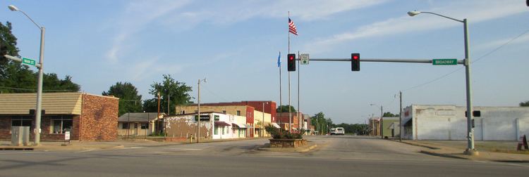
Spiro is a town in Le Flore County, Oklahoma, United States. It is part of the Fort Smith, Arkansas-Oklahoma Metropolitan Statistical Area. The population was 2,164 at the 2010 census, a 2.8 percent decline from 2,227 at the 2000 census. Developed as a railroad station in an agricultural area in the late 19th century, the small town is notable for its proximity to the Spiro Mounds. This is a Mississippian culture center that was active from about 850CE to 1450CE, and controlled a large area in present-day southeastern Oklahoma and nearby states. Today the 80-acre site with several earthwork mounds is preserved as Oklahoma's only State Archeological Park and one of North America's most important archaeological sites. It is the westernmost site of the expansive Mississippian culture, which had associated centers through the Mississippi and tributary river valleys.
Contents
Map of Spiro, OK 74959, USA
History
In 1895 - 1896, the Kansas City, Pittsburg and Gulf Railroad (later owned by the Kansas City Southern Railroad) established a station at the present site of Spiro, which connected the area to the city of Fort Smith, Arkansas. This railroad access attracted residents from the nearby town of Skullyville and Spiro soon developed as the principal town in this area. The town population was 543 in 1900.
The US Post Office at Spiro was established in 1898. Several accounts differ as to how the post office was named. One claims that Spiro was the maiden name of the first postmistress. Another claims it was the maiden name of the mother of a Fort Smith banker. Yet another claims it was named for the father-in-law of a Fort Smith banker.
For a time the local economy was based on cotton as a commodity crop. In 1901, Spiro had three cotton yards and one gin. By 1910, there were three cotton gins and the population had grown to 1,173. Cotton cultivation became more mechanized and labor needs declined; in addition, the Great Depression of the 1930s took the heart out of the market. Timber harvesting and processing and livestock became important industries in the region. The population declined to 969 in 1930, as agricultural workers migrated to other areas for jobs. It rebounded to 1,365 by 1950 as the economy grew.
On March 26, 1976, the town was struck by an F5 tornado, the highest level on the Fujita scale, resulting in two deaths.
Geography
Spiro is located at 35°14′29″N 94°37′15″W (35.241464, -94.620717). It is 3 miles (4.8 km) south of the Arkansas River, 17 miles (27 km) southwest of Fort Smith, Arkansas, and 10 miles (16 km) west of the Oklahoma-Arkansas border.
According to the United States Census Bureau, the town has a total area of 2.2 square miles (5.7 km2), of which, 2.1 square miles (5.4 km2) of it is land and 0.1 square miles (0.26 km2) of it (3.18%) is water.
Demographics
As of the census of 2000, there were 2,227 people, 875 households, and 587 families residing in the town. The population density was 1,049.5 people per square mile (405.6/km²). There were 992 housing units at an average density of 467.5 per square mile (180.7/km²). The racial makeup of the town was 80.47% White, 5.21% African American, 6.11% Native American, 0.18% Asian, 1.35% from other races, and 6.69% from two or more races. Hispanic or Latino of any race were 2.51% of the population.
There were 875 households out of which 30.6% had children under the age of 18 living with them, 47.0% were married couples living together, 15.8% had a female householder with no husband present, and 32.8% were non-families. 30.2% of all households were made up of individuals and 13.4% had someone living alone who was 65 years of age or older. The average household size was 2.46 and the average family size was 3.03.
In the town, the population was spread out with 26.9% under the age of 18, 9.1% from 18 to 24, 26.6% from 25 to 44, 20.7% from 45 to 64, and 16.7% who were 65 years of age or older. The median age was 36 years. For every 100 females there were 81.8 males. For every 100 females age 18 and over, there were 78.8 males.
The median income for a household in the town was $18,241, and the median income for a family was $25,556. Males had a median income of $23,716 versus $16,694 for females. The per capita income for the town was $11,195. About 23.2% of families and 29.3% of the population were below the poverty line, including 41.8% of those under age 18 and 29.9% of those age 65 or over.