
Elevation 198 m Local time Wednesday 12:04 PM | GNIS feature ID 0453863 Area 184.5 km² Population 2,423 (2010) | |
 | ||
ZIP codes 47421, 47446, 47452, 47470 Weather 12°C, Wind E at 18 km/h, 76% Humidity Points of interest Hoosier National Forest, Williams Dam Public Fishing A, Williams Covered Bridge | ||
Spice Valley Township is one of nine townships in Lawrence County, Indiana, United States. As of the 2010 census, its population was 2,423 and it contained 1,137 housing units.
Contents
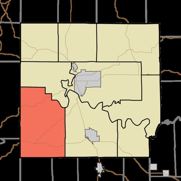
- Map of Spice Valley Township IN USA
- History
- Geography
- Unincorporated towns
- Cemeteries
- Major highways
- Lakes
- School districts
- Political districts
- References
Map of Spice Valley Township, IN, USA
History
The Williams Bridge was listed in the National Register of Historic Places in 1981.
Geography
According to the 2010 census, the township has a total area of 71.25 square miles (184.5 km2), of which 70.34 square miles (182.2 km2) (or 98.72%) is land and 0.91 square miles (2.4 km2) (or 1.28%) is water.
Unincorporated towns
(This list is based on USGS data and may include former settlements.)
Cemeteries
The township contains these eight cemeteries: Brunner, Bryantsville, Burton, Cox, Georgia, Grodey, Huron and Tincher.
Major highways
Lakes
School districts
Political districts
References
Spice Valley Township, Lawrence County, Indiana Wikipedia(Text) CC BY-SA