
County Lawrence FIPS code 18-84338 Elevation 175 m Local time Monday 11:44 AM | State Indiana GNIS feature ID 451629 Zip code 47470 | |
 | ||
Weather 18°C, Wind SE at 16 km/h, 64% Humidity | ||
Williams is an unincorporated census-designated place in Spice Valley Township, Lawrence County, Indiana.
Contents
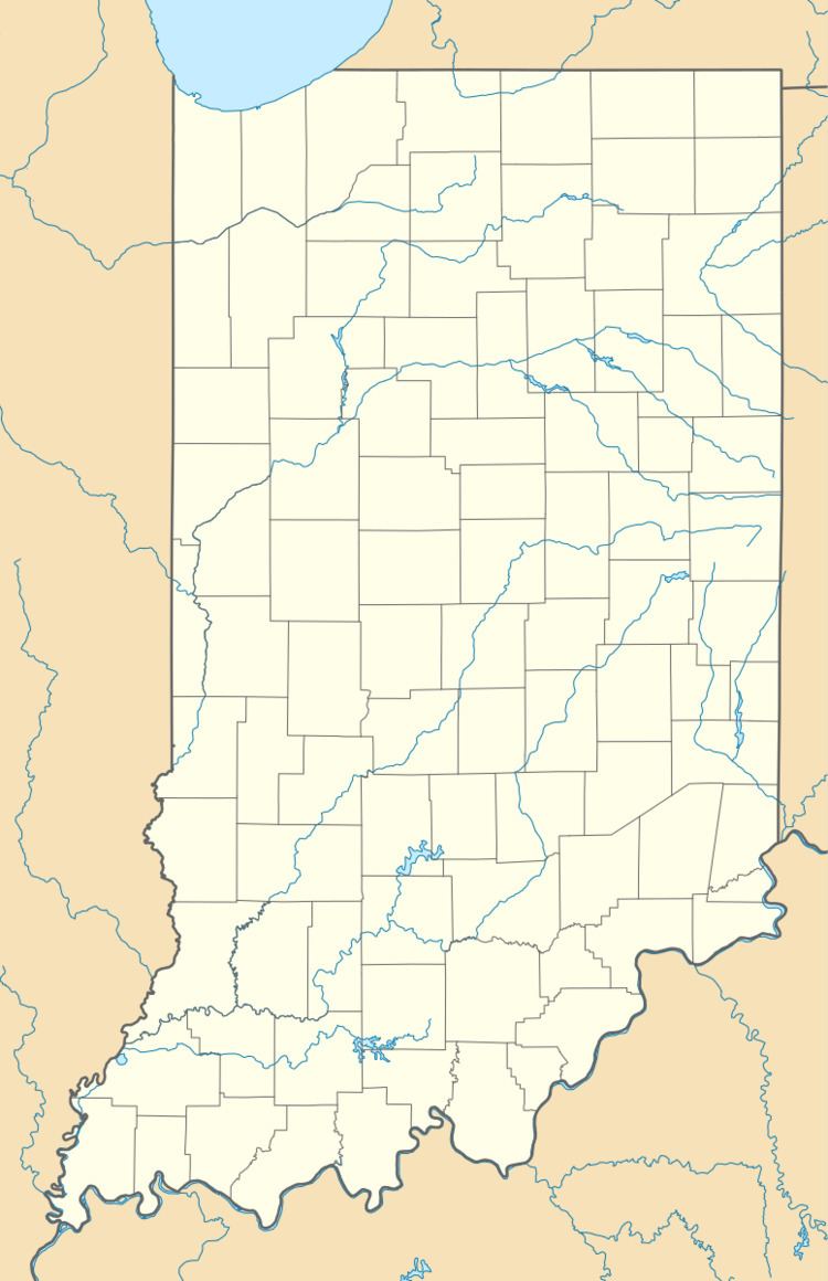
Map of Williams, IN 47470, USA
Geography
Williams is located at 38°48′16″N 86°38′50″W.
History
The Williams post office was established in 1876. Byrd E. Williams was an early postmaster. Williams was platted in 1889.
Williams Covered Bridge
The Williams Covered Bridge, also known as the Lawrence County Covered Bridge, is the longest double-span covered bridge still open to traffic in Indiana. It crosses the East Fork of the White River, in Section 7, Township 4 North, and Range 2 West, southwest of Williams. This double span Howe truss structure has a length of 376 feet, or 402 feet including the 13-foot overhang at each end, with a portal clearance 16 feet wide by 12 feet 6 inches high. Built in 1884 by Joseph J. Daniels, the bridge receives its name from the nearby town, which was named in honor of early settler Isaac Williams. Though no historical marker is present, the Williams Covered Bridge was added to the National Register of Historic Places in 1981 and is listed as #14-47-02 in the 1989 World Guide.
The Williams Covered Bridge was totally refurbished and is no longer open to traffic as of September 15, 2013. It has been closed for at least a year.