
Population 2011 Census Local time Wednesday 1:20 PM | Sovereign state United Kingdom Postcode district RG7 Dialling code 0118 | |
 | ||
Weather 14°C, Wind SW at 24 km/h, 78% Humidity | ||
Spencers wood jubilee bash
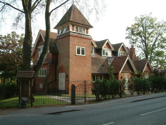
Spencers Wood is a village in the civil parish of Shinfield, Berkshire, England, 4 miles (6.4 km) south of Reading. The village of Three Mile Cross adjoins it to the north. To the west lies the village of Grazeley.
Contents
- Spencers wood jubilee bash
- Map of Spencers Wood Reading UK
- History
- World War Two
- Recent history
- Village Services
- References
Map of Spencers Wood, Reading, UK
History
The village was named after the le Despencer family — a Norman family – in the 13th century. Until about 1300, the village was part of the Royal Forest (Windsor Forest).
In the 13th century, Spencers Wood was administered by William Longespée, Earl of Salisbury and his court in Amesbury. Hence at that time Spencers Wood was part of Wiltshire (as was much of the surrounding area). Nearby Swallowfield was split between Wiltshire and Berkshire, with Part Lane marking the partition. In fact, it was only on 20 October 1844 that Spencers Wood and the surrounding areas became part of Berkshire. In 1860, most of the land, which was hitherto common land, was enclosed and separately acquired by two local gentlemen; the local philanthropist Frederick Allfrey, and William Merry, who was a County magistrate and a visiting magistrate to Reading Gaol, as well as Secretary at War Lord Palmerston's private secretary from 1812 to 1828.
By 1880, Spencers Wood had become a thriving village with a population of 600, of whom 200 were children. Most of the working men worked in the fields or were in domestic service. Victorian and Edwardian style houses were built along the Basingstoke Road using bricks baked at the local Swain family kiln. The Square became the heart of the village during this building period. Many of the houses still stand.
In spite of its growth, Spencers Wood was still split between the ecclesiastical parishes of Shinfield, Swallowfield and Grazeley. This changed in 1908 when the Church of St Michael and All Angels was consecrated. The boundaries were finally officially changed five years later, although some parts of the village were still in the ecclesiastical parish of Grazeley. Also on 1908, the local school was opened, which ended the necessary walk to Swallowfield's Russell Hall, Shinfield or Grazeley School.
World War Two
Spencers Wood, being a rural community, was unaffected by the Blitz. Few German bombs fell in the area, which was just as well as the village has no air-raid shelters. One German plane was shot down locally.
Rationing also had little effect on the village as the majority of villagers were too poor to notice a real reduction in goods. Food was grown and caught locally as part of the dig for victory programme and the black-market was able to supply all excess demand.
The main impact of the war was the influx of people. Two coaches of evacuees arrived in the village in September 1939. Evacuee children and local children were educated separately until Christmas 1939. Canadian forces were stationed in the village for a while, and a small POW camp was opened after the Canadians relocated. Some POWs helped on the local farms. The village hall served as the Local Defence Volunteers headquarters. Basingstoke Road was the main road to Aldershot, and frequent troop convoys ran through the village.
After the war, many soldiers, evacuees and prisoners of war decided to settle in the village, in addition to this, a baby boom helped the population of the village to grow.
Recent history
The first street lighting in the village was installed after the war.
In 1954, Spencers Wood Women's Institute was formed. It was quite successful, with 60 members at its height. It closed in the mid-1980s.
In the 1960s, the M4 Motorway was built and became a man made barrier between the village and Reading. In the 1980s, the A33 Swallowfield Bypass severed roads to the village of Grazeley lying to the East.
Despite local opposition, many new houses have been constructed in the village in recent years.