
Admin. region Oberfranken Municipal assoc. Sparneck Area 16.36 km² Population 1,689 (31 Dec 2008) Dialling code 09251 | Elevation 560 m (1,840 ft) Local time Wednesday 4:30 AM Postal code 95234 | |
 | ||
Weather 6°C, Wind SW at 8 km/h, 94% Humidity | ||
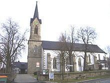
Sparneck is a municipality in Upper Franconia in the district of Hof in Bavaria in Germany.
Contents
Map of Sparneck, Germany
Location
The market town of Sparneck lies at an average height of 560 m above sea level (NN) in the Pfarrbach valley, which forms the larger part of the area. The Saxon Saale river flows through this valley in a northerly direction. Towards the east the 877 metre high Waldstein ridge rises, the source of the Saale is on its slopes. It forms the natural boundary with the neighbouring district of Wunsiedel.
History
Sparneck is first mentioned 1223 with a person from Sparneck family.
References
Sparneck Wikipedia(Text) CC BY-SA