
Population 341 (2011) Civil parish Sparham Area 7.22 km² | OS grid reference TG071196 Sovereign state United Kingdom Local time Wednesday 2:55 AM | |
 | ||
Weather 10°C, Wind S at 19 km/h, 95% Humidity | ||
Sparham is a village and civil parish in the English county of Norfolk. It covers an area of 7.22 km2 (2.79 sq mi) and had a population of 291 in 109 households at the 2001 census, including Bylaugh and increasing to a population of 341 in 143 households at the 2011 census. For the purposes of local government, it falls within the district of Breckland.
Map of Sparham, UK
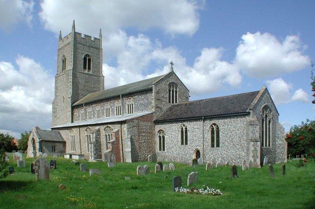
Sparham is one of the highest points in Norfolk, and the top of the church tower has views of the surrounding countryside for several miles.
The hamlet of Sparhamhill lies to its east and south on the main A1067 road.
References
Sparham Wikipedia(Text) CC BY-SA