
Population 4,247 (2011) Civil parish South Wootton Area 8.54 km² | OS grid reference TF648230 Sovereign state United Kingdom Local time Tuesday 7:55 AM | |
 | ||
Weather 3°C, Wind E at 3 km/h, 99% Humidity District King's Lynn and West Norfolk | ||
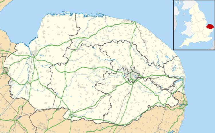
South Wootton is a village and civil parish in the English county of Norfolk, approximately 2 miles (3.2 km) north-east of King's Lynn. It covers an area of 8.54 km2 (3.30 sq mi) and had a population of 3,717 in 1,450 households at the 2001 census, increasing at the 2011 Cernsus to a population of 4,247 in 1,696 households. For the purposes of local government, it falls within the district of King's Lynn and West Norfolk.
Map of South Wootton, UK
The older part of the village grew up around the village green and St Mary's church, though there has been a fair amount of new housing built since the 1960s. There are two schools in South Wootton, South Wootton First School and South Wootton Junior School the former feeding into the latter.
The Church of the Virgin Mary in South Wootton is an Anglican church, led by the Rector, the Revd. James Nash.