Girish Mahajan (Editor)

South Turton

Updated on
Edit
Like
Comment
Share on FacebookTweet on TwitterShare on LinkedInShare on Reddit
Population
  
25,067

Metropolitan borough
  
Bolton

Country
  
England

Metropolitan county
  
Greater Manchester

OS grid reference
  
SD735122

Region
  
North West

Sovereign state
  
United Kingdom

Dialling code
  
01204

South Turton

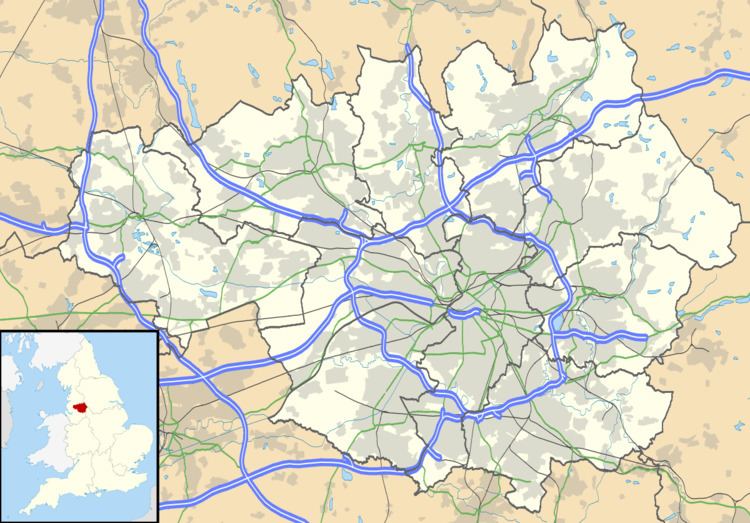
South Turton is an unparished area of the Metropolitan Borough of Bolton, in Greater Manchester, England. Historically the southern part of Turton in Lancashire, it lies on the southern slopes of the West Pennine Moors, and has a population of 25,067.

Contents

South Turton was created in 1974 from the smaller urban area of the former Turton Urban District. This unparished area includes Bradshaw, Bromley Cross, Harwood, Dunscar, Eagley, and Egerton.

Electoral wards

South Turton has two electoral wards - Bromley Cross and Bradshaw. Each ward has three councillors who represent the area on Bolton Metropolitan Borough Council.

Education

Primary Schools

  • St Maxentius C.of E. Primary School, New Heys Way, Bradshaw
  • Eagley Infant School, Stonesteads Drive, Bromley Cross
  • Eagley Junior School, Chapeltown Road, Bromley Cross
  • St John the Evangelist R.C. School, Darwen Road, Bromley Cross
  • Egerton Community Primary School, Cox Green Road, Egerton
  • Walmsley C.of E. Primary School, Blackburn Road, Egerton
  • Christ's Church C.of E. Primary School, Stitch-mi-Lane, Harwood
  • Hardy Mill Primary School, Belmont View, Harwood
  • Harwood Meadows Primary School, Orchard Gardens, Harwood
  • St Brendan's R.C. Primary School, Brookfold Lane, Harwood
  • Secondary Schools

  • Canon Slade School, Bradshaw Brow, Bradshaw
  • Turton School and Sixth Form, Bromley Cross Road, Bromley Cross
  • Muslim College

  • Al-Jamiatul Islamiyah Darul Uloom Lancashire UK, Hospital Road, Bromley Cross
  • References

    South Turton Wikipedia