
Topo map USGS South Teton Elevation 3,814 m | Easiest route Scramble class 4 Prominence 327 m | |
 | ||
First ascent August 29, 1923 (Ellingwood) Similar Middle Teton, Mount Owen, Nez Perce Peak, Teewinot Mountain, Buck Mountain | ||
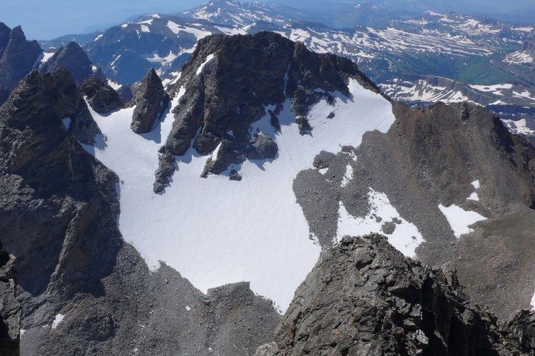
South Teton (12,514 feet (3,814 m)) is the fifth highest peak in the Teton Range, Grand Teton National Park, Wyoming. The peak is south of Middle Teton and just west of Cloudveil Dome and is part of the Cathedral Group of high Teton peaks. The 40 miles (64 km) long Teton Range is the youngest mountain chain in the Rocky Mountains, and began their uplift 9 million years ago, during the Miocene. Several periods of glaciation have carved South Teton and the other peaks of the range into their current shapes.
Contents
Map of South Teton, Wyoming 83414, USA
ClimbingEdit
South Teton was first climbed on August 29, 1923 by Albert R. Ellingwood and Eleanor Davis. Ellingwood made the first ascent of Middle Teton the same day. Davis was the first woman to ascend Grand Teton.
The easiest climbing route is via Garnet Canyon to an altitude of 9,200 feet (2,800 m). From there a trail leads southwest towards a pass between South and Middle Teton. Most ascents of the summit are made from this pass. A number of more difficult ascents are also done by experienced climbers, with difficulty of up to Class 5.11.