
- elevation 1,600 ft (488 m) Basin area 325.8 km² | - elevation 594 ft (181 m) | |
 | ||
- coordinates Elevation Profile vs River Length Mouths | ||
South sauty creek 5 1 14
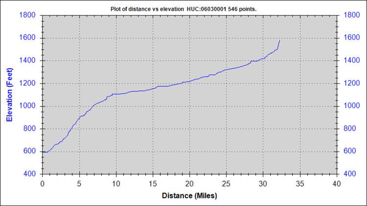
South Sauty Creek is 32.25 miles (51.90 km) long with a drainage area of 125.8 square miles (326 km2), and is a tributary to the Tennessee River. The river rises in DeKalb County, Alabama, and flows generally southwest along Sand Mountain from its headwaters before turning generally west and flowing off of Sand Mountain, through Buck’s Pocket, terminating shortly afterwards into Lake Guntersville in an area known as Morgan's Cove. South Sauty forms the Buck’s Pocket canyon as the creek falls from the north side of Sand Mountain (Alabama).
Contents
- South sauty creek 5 1 14
- Map of South Sauty Creek Alabama USA
- South sauty creek kayaking 12 30 14
- References
Map of South Sauty Creek, Alabama, USA
South sauty creek kayaking 12 30 14
References
South Sauty Creek Wikipedia(Text) CC BY-SA