
Country United States FIPS code 01-34096 Elevation 441 m Population 2,343 (2013) Area code 256 | Time zone Central (CST) (UTC-6) GNIS feature ID 0150286 Zip code 35978 Local time Thursday 9:53 AM | |
 | ||
Weather 14°C, Wind S at 5 km/h, 33% Humidity Area 57.76 km² (57.76 km² Land / 10 ha Water) | ||
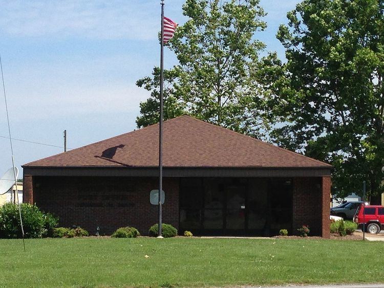
Henagar is a city in DeKalb County, Alabama, United States. At the 2010 census the population was 2,344.
Contents
- Map of Henagar AL USA
- History
- Geography
- Culture
- Demographics
- 2010 census
- Education
- Notable person
- References
Map of Henagar, AL, USA
Henagar is located on top of Sand Mountain, a southern extension of the Cumberland Plateau.
History
Henagar was first settled circa 1855. The town is named after an early settler, George Henegar. A post office was established in 1878. It was then that a postal official misspelled the town's name as "Henagar". In 1901, a public school was built. Henagar incorporated in 1965.
Geography
Henagar is located in northern DeKalb County at 34°38′1″N 85°44′35″W (34.633700, -85.742921). Its northwest border follows the Jackson County line.
Alabama State Route 40 passes through the original center of town, leading east 8 miles (13 km) to Interstate 59 in Hammondville and west 19 miles (31 km) to Scottsboro. Alabama State Route 75 crosses AL 40 in the newer commercial part of Henagar and leads northeast 8 miles (13 km) to Ider and southwest 10 miles (16 km) to Rainsville.
According to the U.S. Census Bureau, Henagar has a total area of 22.3 square miles (57.8 km2), of which 22.3 square miles (57.7 km2) is land and 0.04 square miles (0.1 km2), or 0.15%, is water. South Sauty Creek, a tributary of the Tennessee River, flows southwest through the central and southern part of the city.
Culture
The Sand Mountain Potato Festival is celebrated each July in Henagar, with potatoes, live music, entertainment, arts and crafts, games, and fireworks.
A drive-in theater is located in Henagar.
Demographics
As of the census of 2000, there were 2,400 people, 937 households, and 715 families residing in the town. The population density was 109.8 people per square mile (42.4/km²). There were 1,056 housing units at an average density of 48.3 per square mile (18.7/km²). The racial makeup of the town was 96.46% White, 1.67% Native American, 0.04% Asian, 0.04% Pacific Islander, 0.21% from other races, and 1.58% from two or more races. 0.71% of the population were Hispanic or Latino of any race.
There were 937 households out of which 34.9% had children under the age of 18 living with them, 64.8% were married couples living together, 8.2% had a female householder with no husband present, and 23.6% were non-families. 21.7% of all households were made up of individuals and 10.0% had someone living alone who was 65 years of age or older. The average household size was 2.56 and the average family size was 2.96.
In the town the population was spread out with 24.8% under the age of 18, 9.3% from 18 to 24, 28.2% from 25 to 44, 25.0% from 45 to 64, and 12.8% who were 65 years of age or older. The median age was 37 years. For every 100 females there were 93.9 males. For every 100 females age 18 and over, there were 92.1 males.
The median income for a household in the town was $29,777, and the median income for a family was $34,469. Males had a median income of $29,309 versus $19,401 for females. The per capita income for the town was $14,836. About 10.3% of families and 16.9% of the population were below the poverty line, including 23.0% of those under age 18 and 25.5% of those age 65 or over.
2010 census
As of the census of 2010, there were 2,344 people, 942 households, and 676 families residing in the town. The population density was 107.0 people per square mile (41.3/km²). There were 1,092 housing units at an average density of 49.9 per square mile (19.3/km²). The racial makeup of the town was 96.2% White, 1.8% Native American, 0.0% Asian, 0.0% Pacific Islander, 0.3% from other races, and 1.6% from two or more races. 1.4% of the population were Hispanic or Latino of any race.
There were 942 households out of which 29.6% had children under the age of 18 living with them, 55.9% were married couples living together, 9.8% had a female householder with no husband present, and 28.2% were non-families. 25.2% of all households were made up of individuals and 10.6% had someone living alone who was 65 years of age or older. The average household size was 2.49 and the average family size was 2.93.
In the town the population was spread out with 23.9% under the age of 18, 6.8% from 18 to 24, 24.5% from 25 to 44, 29.7% from 45 to 64, and 15.1% who were 65 years of age or older. The median age was 41 years. For every 100 females there were 100.5 males. For every 100 females age 18 and over, there were 103.4 males.
The median income for a household in the town was $32,130, and the median income for a family was $39,432. Males had a median income of $40,227 versus $24,122 for females. The per capita income for the town was $21,701. About 17.9% of families and 19.8% of the population were below the poverty line, including 32.5% of those under age 18 and 13.6% of those age 65 or over.
Education
Students are served by the DeKalb County Board of Education.
Henagar Junior High School, home of "The Wildcats", is located in the town.