
Time zone Eastern (EST) (UTC-5) Local time Tuesday 12:18 AM Area code 703 | Population 24,256 (2010) | |
 | ||
Weather 16°C, Wind S at 5 km/h, 86% Humidity Points of interest West Riding Park, Elk Lick Park, Dunvegan Park | ||
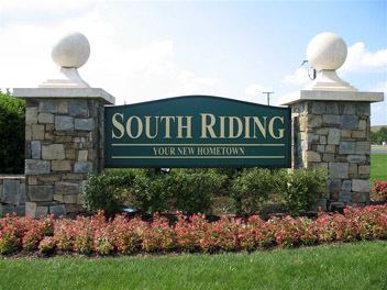
South Riding is a census-designated place and planned community in Loudoun County, Virginia. The population as of the 2010 Census was 24,256. . Neighboring U.S. Route 50 and State Route 28 provide access to the Dulles/Reston/Tysons Corner technology corridor and other major employment centers in Northern Virginia and Washington, D.C.
Contents
Map of South Riding, VA 20152, USA
Demographics
As of 2014, South Riding has a median household income of $142,088. The average listing price for homes in South Riding is between $511,000 and $624,000. Loudoun County also ranks as the 10th most educated county in the nation.
As of the 2010 census: White 74.1%, Black 5.08%, Asian 13.53%, Hispanic 11.18%. Between 2009 and 2014, the White population is expected to grow by 25%, the African American population by 37%, the Asian population by 90% and Hispanic population by 81%.
Schools
Little River Elementary
Hutchison Farm Elementary School
Liberty Elementary
J Michael Lunsford Middle School
John Champe High School
Cardinal Ridge Elementary