
Elevation 4,116 m | Topo map USGS Mount Powell Prominence 107 m | |
 | ||
Similar Gilbert Peak, Mount Lovenia, Kings Peak, Hayden Peak, Mount Agassiz | ||
South Kings Peak is the second highest peak in Utah, United States with an elevation of 13,518 feet (4,120 m). It lies just south of the spine of the central Uinta Mountains, in the Ashley National Forest in northeastern Utah, in north-central Duchesne County. It lies within the boundaries of the High Uintas Wilderness.
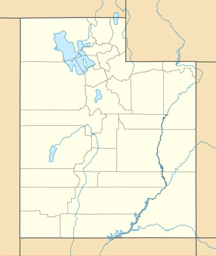
Map of South Kings Peak, Utah, USA
References
South Kings Peak Wikipedia(Text) CC BY-SA