
Governing body U.S. Forest Service | Area 1,848 km² Established September 18, 1984 | |
 | ||
Management United States Forest Service | ||
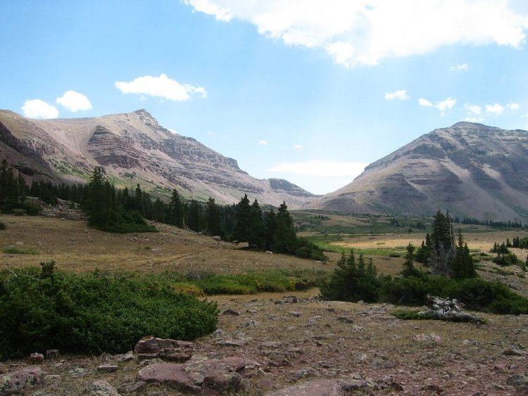
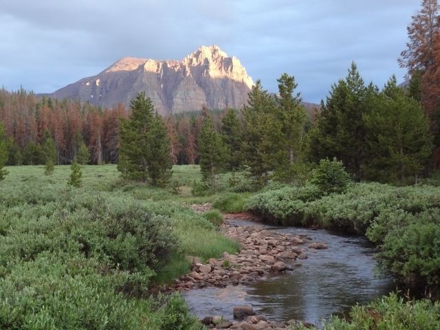
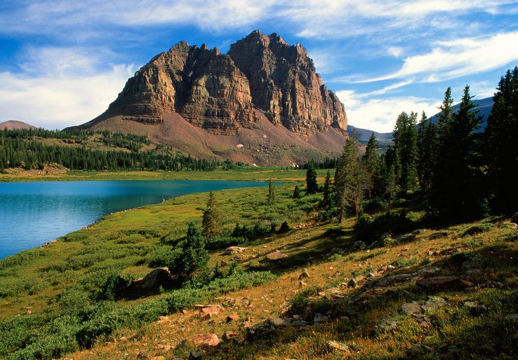
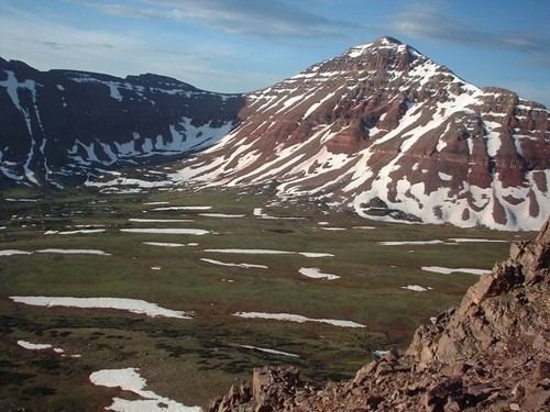
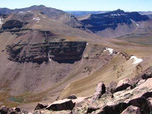
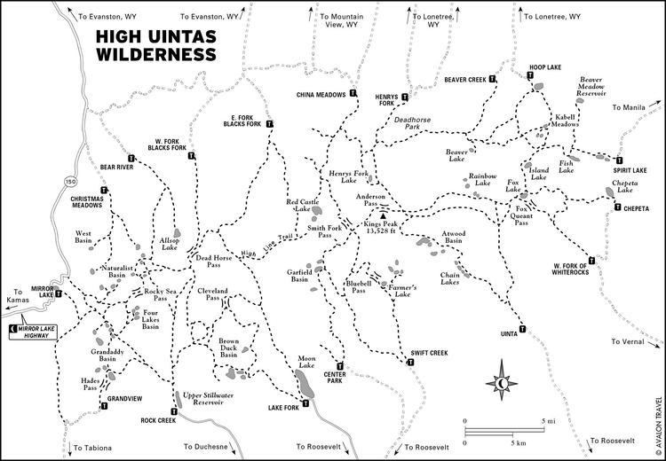
The High Uintas Wilderness /juːˈɪntəz/ is a wilderness area located in northeastern Utah, United States. The wilderness covers the Uinta Mountains, encompassing parts of Duchesne and Summit counties. Designated as a wilderness in 1984, the area is located within parts of Ashley National Forest and Uinta-Wasatch-Cache National Forest, managed by the U.S. Forest Service. The highest peak in Utah, Kings Peak, lies within the wilderness area along with some of Utah's highest peaks, particularly those over 13,000 feet.
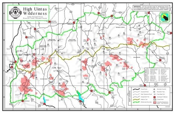
Mirror Lake Highway is closed in the winter, usually opening annually near Memorial Day. Winter access is allowed for snowmobiling, cross-country skiing, and snowshoeing.
Backpacking the high uintas wilderness ut 8 days 95 miles august 2015
References
High Uintas Wilderness Wikipedia(Text) CC BY-SA