
- elevation 5,384 ft (1,641 m) - elevation 2,969 ft (905 m) Length 275 km Basin area 7,195 km² | - average 35.1 cu ft/s (1 m/s) Basin area 7,195 km² | |
 | ||
- max 6,220 cu ft/s (176 m/s) | ||
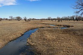
The South Fork Republican River is a river that arises in Lincoln County, Colorado, United States, and flows east-northeastward for about 171 miles (275 km) through Kit Carson and Yuma Counties, Colorado, and Cheyenne County, Kansas, to a confluence with the Republican River in Dundy County, Nebraska. Bonny Reservoir is located on the South Fork Republican River in Yuma County, Colorado.
Map of South Fork Republican River, United States
The South Fork Republican River drains an area of 2,778 square miles (7,190 km2), including 2,106 square miles (5,450 km2), or 75.8%, in eastern Colorado, 667 square miles (1,730 km2), or 24.0%, in northwestern Kansas, and 6 square miles (16 km2), or 0.2%, in southwestern Nebraska.
Use of water from the South Fork Republican River is governed by the Republican River Compact, a water agreement among the U.S. states of Colorado, Kansas, and Nebraska signed on 12-31-1942