
County Cape May Time zone Eastern (EST) (UTC-5) Elevation 3.05 m Population 93 (2000) | ZIP code 08245 Local time Monday 7:00 PM | |
 | ||
Weather 20°C, Wind SE at 8 km/h, 63% Humidity | ||
South Dennis is an unincorporated community located within Dennis Township in Cape May County, New Jersey, United States. It is part of the Ocean City Metropolitan Statistical Area. Its postal ZIP Code is 08245.
Contents
Map of South Dennis, Dennis, NJ 08210, USA
Demographics
As of the 2000 United States Census, there were 93 people and 41 households residing in the ZIP Code Tabulation Area 08245. The population density was 930 people per square mile.
Geography
South Dennis is located at 39°10′42″N 74°49′12″W (39.099980, -74.848733). It lies 10 ft (3 m) above sea level. According to the United States Census Bureau, ZIP Code 08245 has a total area of 0.3 km² (0.1 mi²), all of which is land. Dennis Creek serves as the northern border of the community.
Climate
South Dennis lies on the cusp of a humid subtropical climate zone and experiences four discernible seasons. It receives an average of 44.52 inches (1,131 mm) of precipitation each year, with the wettest season being August. In January 1942, South Dennis experienced its lowest recorded temperature at -22 °F, while the hottest temperature was 103 °F in July 1993.
Transportation
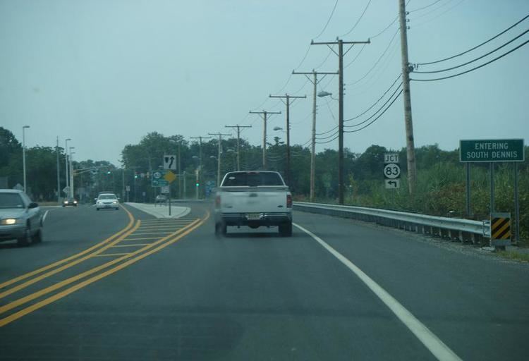
South Dennis lies at the intersection of Route 47 (known as Delsea Drive) and Route 83. A major infrastructure project that realigned Route 47 and added a traffic light was completed in July 2007 at a cost of $6.7 million. Two county routes, County Route 628 and County Route 657, terminate shortly after entering South Dennis.