
Existed: 1936 – present Constructed 1936 | Length 169.8 km | |
 | ||
Counties Charles Mix County, South Dakota | ||
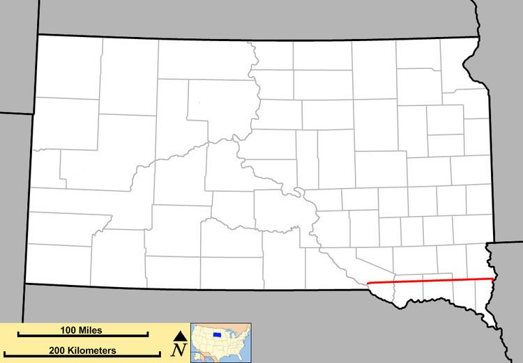
South Dakota Highway 46 is a state route that runs west to east across southeastern South Dakota. It begins at the junction of U.S. Highway 18 and U.S. Highway 281 in Pickstown, and runs due east to nearly the Iowa border, before curving south to cross the border and meeting Iowa Highway 10. It is 107 miles (172 kilometers) in length.
Contents
Map of S Dakota Hwy 46, Centerville, SD 57014, USA
History
South Dakota 46 was established around 1935. Its initial alignment only extended west to U.S. Highway 81. The extension further west occurred around 1960.
References
South Dakota Highway 46 Wikipedia(Text) CC BY-SA