
Existed: 1927 – present Length 310.6 km | Constructed 1927 | |
 | ||
Counties Campbell County, South Dakota | ||
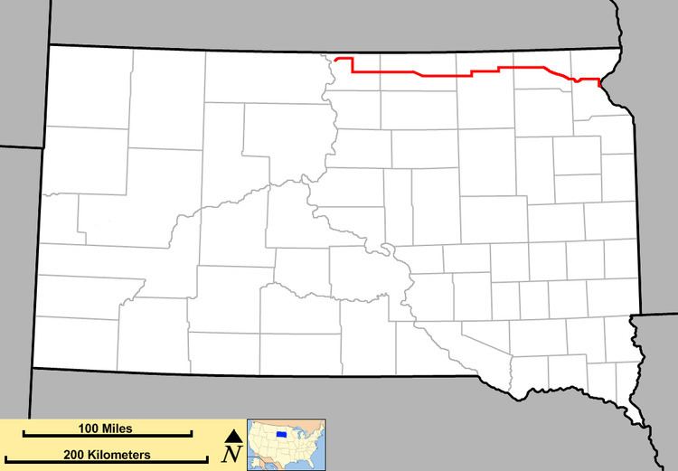
South Dakota Highway 10 is a state route that runs from South Dakota Highway 1804 in Pollock, east to the Minnesota border, where it becomes Minnesota State Highway 28 near Browns Valley. The route is about 193 miles (313 km) in length.
Contents
Map of SD-10, South Dakota, USA
History
SD 10 was designated in 1927, replacing what had been SD 12. This was presumably to avoid confusion with US 12, which was implemented nearby. Before numbering, this road was designated as the Glacier Trail.
When first designated, the western end of SD 10 was at US 83. The extension further west was added in the early 1960s.
References
South Dakota Highway 10 Wikipedia(Text) CC BY-SA