
 | ||
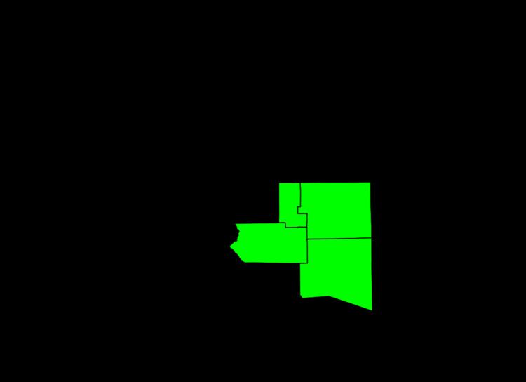
The South Central Colorado Urban Area comprises the Colorado Springs Metropolitan Statistical Area, the Pueblo Metropolitan Statistical Area, and the Cañon City Micropolitan Statistical Area in the central and south central region of the State of Colorado. With the exception of northern Teller County and small portions of northern El Paso County, the entire South Central Colorado Urban Area is drained by the Arkansas River and its tributaries. The South Central Colorado Urban Area is the southernmost of the three primary subregions of the Front Range Urban Corridor.
Contents
- Constituent jurisdictions
- Places over 100000 inhabitants
- Places with 10000 to 100000 inhabitants
- Places with 1000 to 10000 inhabitants
- Places with less than 1000 inhabitants
- References
The South Central Colorado Urban Area had a population of 851,500 at the 2010 United States Census, and increase of 17.43% from the 2000 United States Census. In 2010, 16.93% of Coloradans lived in the South Central Colorado Urban Area.
Constituent jurisdictions
The South Central Colorado Urban Area includes
Places over 100,000 inhabitants
Places with 10,000 to 100,000 inhabitants
Places with 1,000 to 10,000 inhabitants
Places with less than 1,000 inhabitants
and-