
 | ||
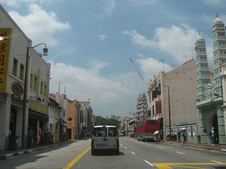
South Bridge Road (Chinese: 桥南路; pinyin: Qiáo nán lù; Malay: Jalan Jambatan Selatan) is a road south of Singapore River in Chinatown, Singapore, which starts from Elgin Bridge and ends at the junction of Neil Road, Tanjong Pagar Road and Maxwell Road.
Contents
Map of South Bridge Rd, Singapore
The road, built by convict labour in 1833, started at the south of Thomson Bridge (now Elgin Bridge) from which it took its name. It is an extension of North Bridge Road which starts from Crawford Street to the north of Elgin Bridge. From 1885 to 1894, steam tramways plied the full length of the road from the town area to the New Harbour (now known as Keppel Harbour). As the trams could not face the competition of rickshaws, they ceased operations. The Singapore Electric Train Company had its trams running along the road from 1905 to 1927. Trolley buses also used South Bridge Road as one of their routes, competing with the "mosquito bus" until 1962 when the current motorbus system was introduced.
The Chinese call the road ta ma lo or "great horseway" as well as chat bok koi or "paint wood street". "Paint wood street" refers to where there is a police court and the river. The road is also known as gu chia chui tua be chia lo in Hokkien which means "big horse (carriage) road in Kreta Ayer Road". The Tamils refer to it as "kalapithi kadei sadakku" களப்பத்துக் கடை சடக்கு or "Cawker's Shop Street".