
Population 112 (2007 est.) Post town STIRLING Local time Monday 7:21 PM Civil parish Airth | OS grid reference NS875914 Sovereign state United Kingdom Postcode district FK7 | |
 | ||
Weather 11°C, Wind E at 18 km/h, 63% Humidity Lieutenancy areas Falkirk, Stirling and Falkirk | ||
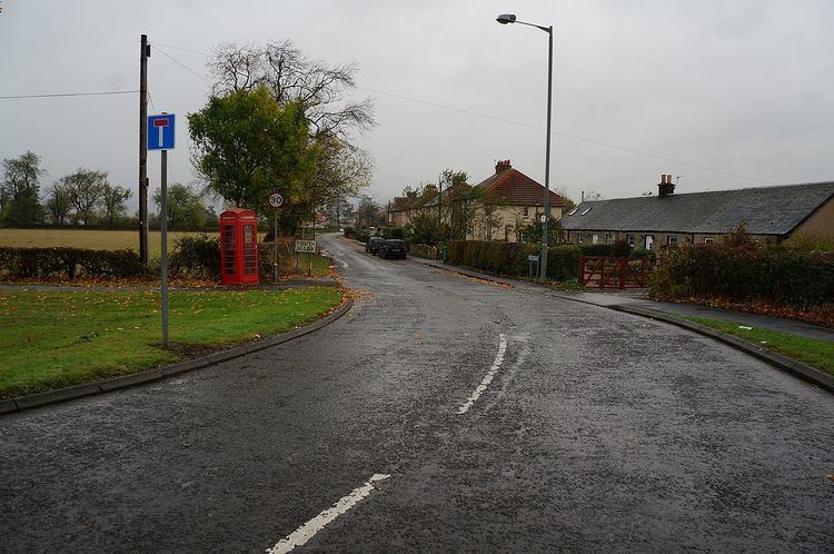
South Alloa is a small village which lies in the far north of the Falkirk council area of Scotland. The village is on the south bank of the River Forth where the river empties and widens to form the Firth of Forth. Directly to the north across the Forth is the town of Alloa, located 0.8 miles (1.3 km) away. Upstream and 5 miles (8.0 km) west-northwest is the city of Stirling and 7.3 miles (11.7 km) south is Falkirk, the principal town of the Falkirk council area. It lies just inside the council boundary line between Falkirk and Stirling councils.
Map of South Alloa, Stirling, UK
The village lies off the A905 road between Dunmore and Throsk. The village is at a former ferry crossing point across the River Forth to Alloa. According to a 2007 estimate the village has 112 residents.