
Time zone IST (UTC+5:30) Local time Monday 12:26 AM | Elevation 11 m (36 ft) Population 6,919 (2011) | |
 | ||
Weather 27°C, Wind SE at 11 km/h, 86% Humidity | ||
Sonatikiri is a census town under Gaighata (community development block) of Bangaon subdivision in North 24 Parganas district in the Indian state of West Bengal. Gaighata police station serves it.
Contents
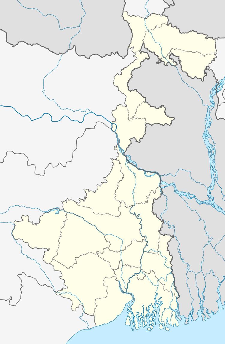
Map of Sonatikiri, West Bengal 743245
Geography
Sonatikiri is located at 22.68°N 88.59°E / 22.68; 88.59. It has an average elevation of 11 m (36 ft).
Demographics
As per 2011 Census of India Sonatiikri had a total population of 6,919, of which 3,500 (51%) were males and 3,419 (49%) were females. Population below 6 years was 531. The total number of literates in Sonatikri was 5,845 (91.5 % of the population over 6 years).
As of 2001 India census, Sonatikiri had a population of 6628. Males constitute 51% of the population and females 49%. Sonatikiri has an average literacy rate of 75%, higher than the national average of 59.5%: male literacy is 79%, and female literacy is 70%. In Sonatikiri, 10% of the population is under 6 years of age.
Healthcare
North 24 Parganas district has been identified as one of the areas where ground water is affected by arsenic contamination.