
PIN 799131 Elevation 15 m Population 12,592 (2015) | Time zone IST (UTC+5:30) Vehicle registration TR Local time Monday 12:05 AM | |
 | ||
Weather 24°C, Wind S at 3 km/h, 91% Humidity | ||
Sonamura is a town and the headquarter of Sonamura Subdivision in Sipahijala district in the Indian state of Tripura. It lies on the border with Bangladesh, to the east of Comilla. It contains a hospital, police station, jail, and a town hall. Sukanta Park is a park of note in Sonamura.
Contents
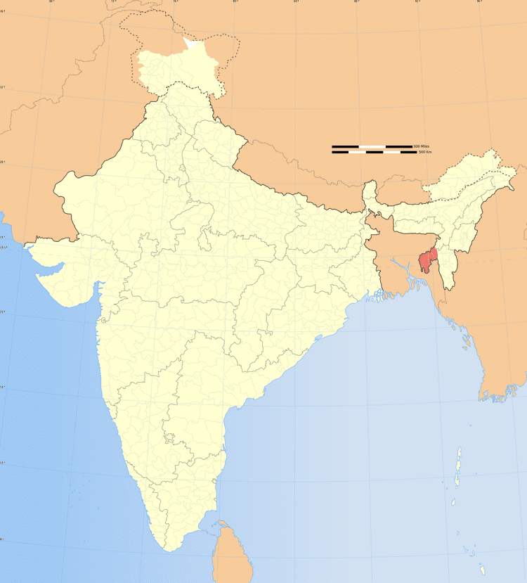
Map of Sonamura, Tripura 799131
Demographics
As of 2011 India census, Sonamura had a population of 10074. Males constitute 51% of the population and females 49%. Sonamura has an average literacy rate of 73%, higher than the national average of 59.5%: male literacy is 77%, and female literacy is 68%. In Sonamura, 11% of the population is under 6 years of age.
Politics
Sonamura assembly constituency is part of Tripura West (Lok Sabha constituency).
References
Sonamura Wikipedia(Text) CC BY-SA