
Time zone IST (UTC+5:30) Elevation 616 m | Taluka Maval (Mawal) Area Code 410 506 Population 5,300 (2011) | |
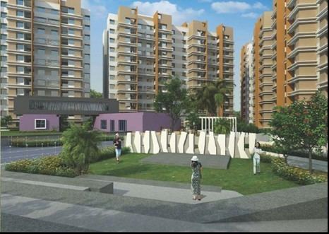 | ||
Somatane is a village located in Maval of Pune district, Maharashtra with total 1159 families residing. The Somatane village has population of 5300 of which 2715 are males while 2585 are females as per Population Census 2011. One can make Entry and Exit for Mumbai Pune Expressway from Somatane Phata, Expressway exit road while coming from mumbai connects to old mumbai pune highway and is called as Somatane Phata. This can be a reason, one can find Hospitals, Restaurants, Schools and other numerous facilities available nearby.
Contents
Map of Somatane, Maharashtra 410506
Transport
By Train
Gorawadi Railway Station , Begdewadi Railway Station are the nearby railway stations to Somatane. Lonavala - Pune Local stops at these stations. Ghorawadi Rail Way Station (near to Talegaon Dabhade). Pune Station is major railway station 30 KM near to Somatane Nearby Railway Stations
By Road
Can be reached By Mumbai Pune Expressway from Mumbai.
Nearest Airports