District Anantapur Time zone IST (UTC+5:30) Area 30.34 km² Population 18,895 (2011) | Talukas Somandepalle Vehicle registration AP Local time Sunday 4:32 PM | |
 | ||
Weather 37°C, Wind NE at 23 km/h, 16% Humidity Neighborhoods Snehalatha Nagar, Vivekananda Nagar, Vinayaka Nagar, Indiranagar, Sapthagiri Colony | ||
Somandepalle is a census town in Anantapur district of the Indian state of Andhra Pradesh. It is located in Somandepalle mandal of Penukonda revenue division. The town is a constituent of Anantapur urban agglomeration.
Contents
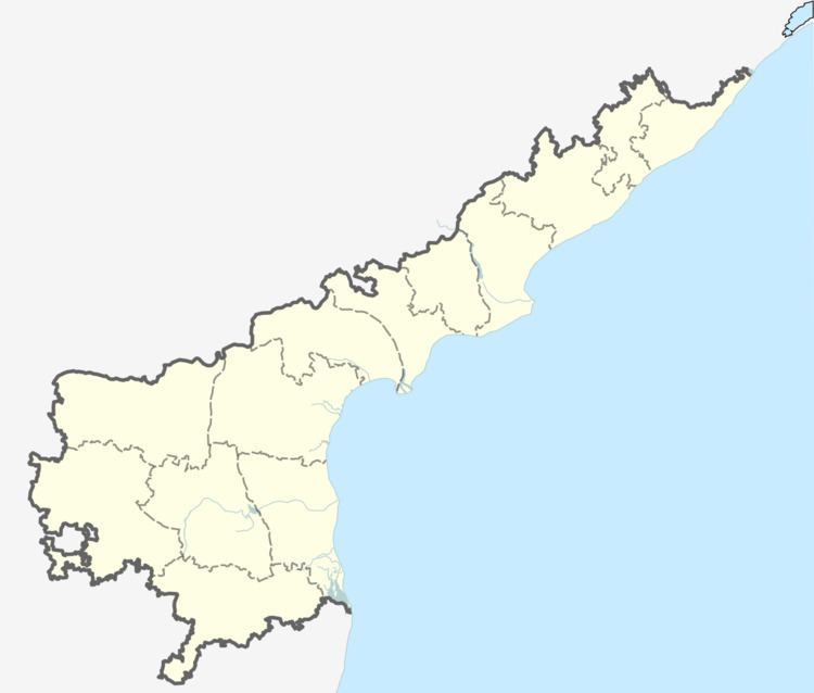
Map of Somandepalli, Andhra Pradesh
Demographics
According to Indian census, 2001, the demographic details of Somandepalle mandal is as follows:
Education
The primary and secondary school education is imparted by government, aided and private schools, under the School Education Department of the state. The medium of instruction followed by different schools are English, Telugu.
References
Somandepalle Wikipedia(Text) CC BY-SA
