
Elevation 248 m Local time Saturday 12:40 AM | GNIS feature ID 0468724 Area 90.38 km² Population 610 (2000) | |
 | ||
Weather 12°C, Wind NE at 13 km/h, 100% Humidity | ||
Soap Creek Township is a township in Davis County, Iowa, USA. As of the 2000 census, its population was 610.
Contents
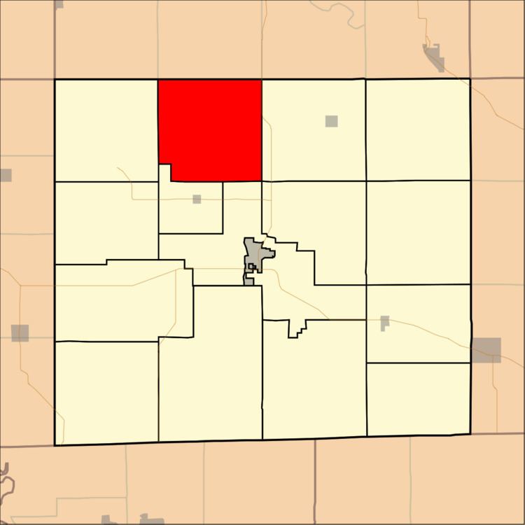
- Map of Soap Creek IA USA
- History
- Geography
- Unincorporated towns
- Adjacent townships
- Cemeteries
- Major highways
- References
Map of Soap Creek, IA, USA
History
Soap Creek Township was organized in 1846. It took its name from Soap Creek.
Geography
Soap Creek Township covers an area of 34.9 square miles (90.38 square kilometers); of this, 0.05 square miles (0.13 square kilometers) or 0.14 percent is water. The stream of Bear Creek runs through this township.
Unincorporated towns
(This list is based on USGS data and may include former settlements.)
Adjacent townships
Cemeteries
The township contains eight cemeteries: Baer, Breeding, Harbour, Kingdom, Rime, Roland, Rudd and Sherman Chapel.
Major highways
References
Soap Creek Township, Davis County, Iowa Wikipedia(Text) CC BY-SA