
Elevation 276 m Local time Sunday 11:16 PM | GNIS feature ID 0468350 Area 92.35 km² Population 218 (2000) | |
 | ||
Weather 0°C, Wind E at 11 km/h, 92% Humidity | ||
Marion Township is a township in Davis County, Iowa, USA. As of the 2000 census, its population was 218.
Contents
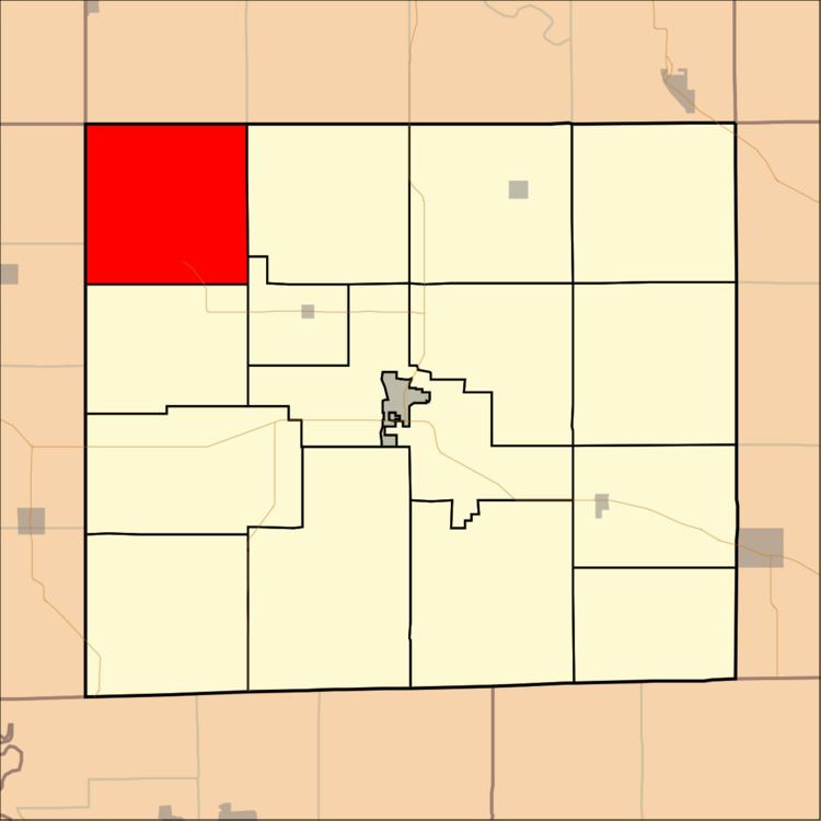
Map of Marion, IA, USA
History
Marion Township was organized in 1846. It is named for General Francis Marion.
Geography
Marion Township covers an area of 35.66 square miles (92.35 square kilometers); of this, 0.34 square miles (0.89 square kilometers) or 0.96 percent is water. The streams of Pee Dee Creek, Pepper Creek and South Soap Creek run through this township.
Unincorporated towns
(This list is based on USGS data and may include former settlements.)
Adjacent townships
Cemeteries
The township contains eight cemeteries: Adams, Bailey, Edwards, Glassburner, Hanson, Mounts, Wesley Chapel and Wheeler.
References
Marion Township, Davis County, Iowa Wikipedia(Text) CC BY-SA