
Forward sortation area L0G Local time Friday 9:51 PM | Regional Municipality York Time zone EST (UTC-5) Area code(s) 905 and 289 | |
 | ||
Weather 3°C, Wind N at 14 km/h, 92% Humidity | ||
Azuri and fringe in snowball ontario featuring his recent bilinvic retro lighting install
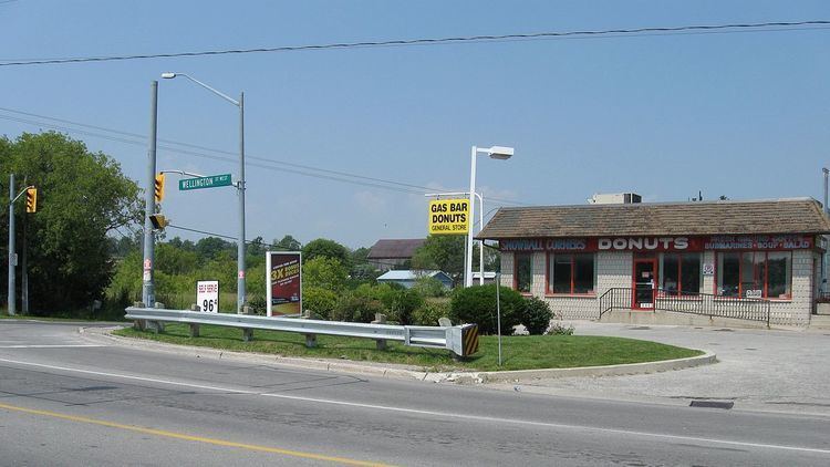
Snowball is a hamlet in the township of King, Ontario, Canada, at the crossroads of Wellington Street West (17th sideroad) and Dufferin Street. It is located north of Eversley. Snowball is part of electoral Ward 1 in King.
Contents
- Azuri and fringe in snowball ontario featuring his recent bilinvic retro lighting install
- Map of Snowball ON Canada
- History
- Present day
- References
Map of Snowball, ON, Canada
History
According to a story archived at the King City branch of the King Township Public Library that was written by the Snowball Women's Institute in 1926, the community's name dates to 1850 and the construction of a log church by its residents. Workers had packed the joints with snow and had to wait for the spring melt before completing construction. An overheated stove burned the church down 20 years later.
Present day
It has an estimated population of 190 people and is known for its horseback riding schools; locally, it is known for its large garden centre. At its crossroads are also found a gas station with an attached coffee shop and adjacent diner.
In 2005, a golf course and new residential zone were built in Snowball, and its population has increased.