
Opening date 1980 Length 899 m | Impounds Ohio River Construction began 1971 | |
 | ||
Location Kentucky/Illinois border Normal elevation 324 feet above sealevel Similar Ohio River, Lock and Dam Number 52, Newburgh Lock and Dam, Lock and Dam Number 53, Cannelton Locks and Dam | ||
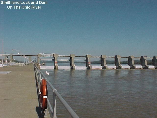
Smithland Lock and Dam is the 18th Lock and dam on the Ohio River, 919 miles down stream of Pittsburgh and 63 miles upstream from the confluence of the Mississippi with the Ohio. There are 2 locks for commercial barge traffic that are 1,200 feet long by 110 feet wide.
Contents
Map of Smithland Lock and Dam, Smithland, KY 42081, USA
History
Smithland lock and dam was authorized in 1965 to replace lock and dam 50 and 51 on the Ohio river.
References
Smithland Lock and Dam Wikipedia(Text) CC BY-SA