
Max. depth 12.3 m (40 ft) Catchment area 6 km² | Surface elevation 340 m (1,120 ft) asl Catchment area 6 km² | |
 | ||
Water volume 1.35 million cubic metres (1,090 acre·ft) Similar Waskerley Reservoir, Tunstall Reservoir, Burnhope Reservoir, Colt Crag Reservoir, Rumworth Lodge Reservoir | ||
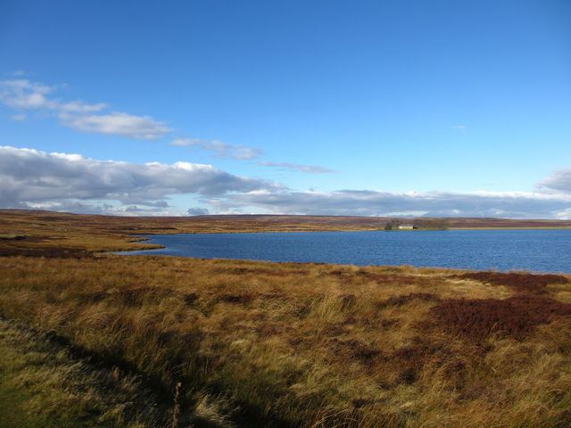
C2c bike ride waskerley way near smiddy shaw reservoir
Smiddy Shaw Reservoir is one of a group of three reservoirs located on Muggleswick Common, County Durham, the others being Waskerley and Hisehope Reservoirs.
Contents
- C2c bike ride waskerley way near smiddy shaw reservoir
- Map of Smiddy Shaw Reservoir Consett UK
- References
Map of Smiddy Shaw Reservoir, Consett, UK
The reservoir, which was completed by 1872, is owned and operated by Northumbrian Water. It and Waskerley feed water under gravity to a water treatment works at Honey Hill, while Hisehope feeds into Smiddy Shaw.
Smiddy Shaw and its two neighbouring reservoirs are located within the Muggleswick, Stanhope and Edmundbyers Commons and Blanchland Moor Site of Special Scientific Interest, which itself forms part of the North Pennines Area of Outstanding Natural Beauty.
References
Smiddy Shaw Reservoir Wikipedia(Text) CC BY-SA