
Area 21.8 km (8.4 sq mi) Civil parish Smarden Dialling code 01233 | OS grid reference TQ880243 Local time Friday 2:06 PM | |
 | ||
Population 1,301 (Civil Parish 2011) Weather 11°C, Wind NE at 24 km/h, 74% Humidity | ||
Smarden video tour herald land
Smarden is a civil parish and village, west of Ashford in Kent, South East England.
Contents
- Smarden video tour herald land
- Map of Smarden Ashford UK
- Amenities and geography
- Organisations
- History
- Demography
- Houses
- Past residents
- References
Map of Smarden, Ashford, UK
The village has the Church of England-used church of St. Michael which, because of its high scissor beam roof, is sometimes known as "The Barn of Kent".
Amenities and geography
Smarden has a multi-purpose 'Post Office and Stores', Butcher's shop, the West End House Art 'Gallery' (shop and gallery)
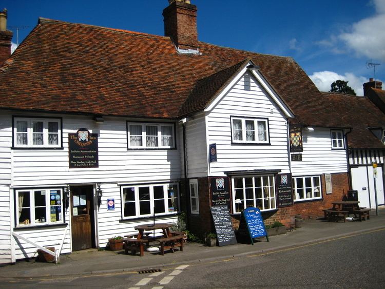
By the three main neighbourhoods are three mostly quite large, family-catering pubs: The Flying Horse, The Bell and The Chequers. Smaller Maltmans Hill and Haffenden Quarter are well linked and remain tied to the founding neighbourhood which bears the same name as the civil parish.
The area is drained by the headwaters of the two major rivers ultimately flowing north, via Maidstone to the west or Ashford to the east. These rivers are the River Medway and the River Stour however many of these headwaters are only seasonal. The civil parish has no A roads, motorways. It briefly has a railway which has a nearby station connected by almost straight lanes to the two major neighbourhoods, Headcorn railway station.
Organisations
History
The earliest known date for Smarden is 1205, when Adam de Essex became the Rector of the parish. The area was covered by the forest of Anderida and when clearings were made, the River Beult (a tributary of the River Medway) formed the drainage channel. The local woollen industry was encouraged by King Edward III who brought weaver craftsmen over from Flanders to create what was to become one of England's biggest industries. Edward in recognition granted the village a Royal Charter in 1333 permitting them to hold a weekly market and an annual fair thus elevating the status from village to "Town". Elizabeth I, en route from Sissinghurst Castle to Boughton Malherbe in 1576, was so impressed by what she saw and ratified the previously granted Charter. A copy of the Charter hangs in the village church.
Demography
The population rose by 79 in the 10 years to 2011.
Houses
Smarden became very prosperous and some fine houses were built in the 15th and 16th centuries, many of which remain today. The Cloth Hall (1430) is an example of a fifteenth-century yeoman's timber hall house. Although built as a farm it became the central clearing warehouse for the local cloth industry; the broad-cloth would have been taken from there to the port of Faversham.
Jubilee House on Pluckley Road is a Grade II listed house built c. 1772.
During the Second World War, houses in Smarden, such as Gilletts, were used to relocate evacuees from London.
Past residents
Dorothy Crisp (1906–1987) English author, political writer, publisher, chairman of the British Housewives' League. She married John Becker in London in 1945, but retained her maiden name, moved to the village and had two children. After the death of her husband, she moved to live in Sussex during the 1950s and 1960s and moved elsewhere in England.