
Time zone EET (UTC+2) Elevation 1,130 m | Nahiyah Slinfah Climate Csb Local time Friday 7:33 AM | |
 | ||
Weather 5°C, Wind N at 5 km/h, 55% Humidity | ||
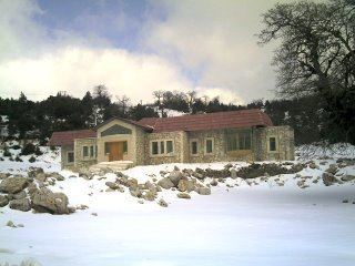
Slinfah (Arabic: صلنفة, Ṣlenfah) is a Syrian town-resort, founded in 1929, administratively belonging to Al-Haffah District within the Latakia Governorate. It is located at an average height of 1130 metres above sea level on the An-Nusayriyah Mountains, 50 km east of Latakia city. According to the 2004 official census, the town's population is 1,847, reaching up to 19,518 inhabitants with the 25 surrounding villages in the Slinfah subdistrict (nahiyah). The inhabitants are predominantly Nusayriyah.
Contents
Map of Slanfah, Syria
With its mild summer temperature, Slinfah is one of the most popular tourist destinations in Syria, both among locals and foreigners. The town is characterised with severe cold temperature and heavy snow in winter.
Slinfah's highest point is the peak of the Prophet Yunis which has a height of 1300 metres above sea level. The nearby Shooh mountains are covered with 500 hectares of fir trees. The historical Citadel of Salah Ed-Din is only 13 km west of Slinfah.
Climate
In Slinfah, the climate is warm and temperate. In winter there is much more rainfall in Slinfah than in summer. According to Köppen and Geiger climate is classified as Csb. The average annual temperature in Slinfah is 12.8 °C (55.0 °F). About 1,282 mm (50.5 in) of precipitation falls annually.