
 | ||
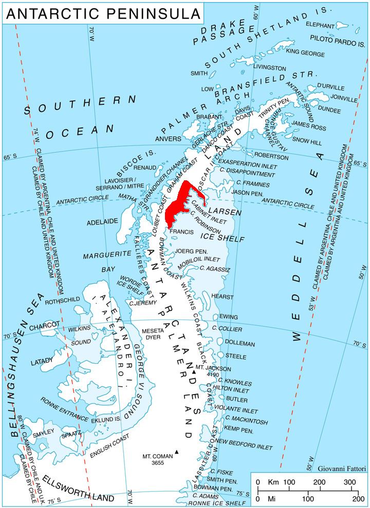
Sleipnir Glacier (66°29′S 63°59′W) is a glacier 10 nautical miles (18 km) long, flowing into the west side of Cabinet Inlet between Balder and Spur Points, on the east coast of Graham Land, Antarctica. Vologes Ridge is situated in the central portion of the glacier.
Contents
Map of Sleipnir Glacier, Antarctica
The feature was charted in 1947 by the Falkland Islands Dependencies Survey (FIDS), who named it after the horse of the mythological Norse god Odin. It was photographed from the air during 1947 by the Ronne Antarctic Research Expedition (RARE) under Ronne.
Maps
This article incorporates public domain material from the United States Geological Survey document "Sleipnir Glacier" (content from the Geographic Names Information System).
References
Sleipnir Glacier Wikipedia(Text) CC BY-SA