
 | ||
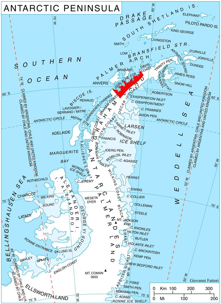
Sladun Peninsula (Bulgarian: полуостров Сладун, ‘Poluostrov Sladun’ po-lu-'os-trov sla-'dun) is the predominantly ice-covered 4.58 km wide peninsula projecting from Danco Coast, Antarctic Peninsula 5.2 km into Gerlache Strait south of Cierva Cove and north of Duarte Cove. It ends in Cierva Point and Sucia Point to the west.
Contents
The feature is named after the settlement of Sladun in Southern Bulgaria.
Location
Sladun Peninsula is centred at 64°11′00″S 60°54′10″W. British mapping in 1978.
Maps
References
Sladun Peninsula Wikipedia(Text) CC BY-SA