
OS grid reference SO264744 Post town KNIGHTON Local time Thursday 8:38 PM | Sovereign state United Kingdom Postcode district LD7 Dialling code 01547 | |
 | ||
Weather 6°C, Wind NE at 21 km/h, 71% Humidity | ||
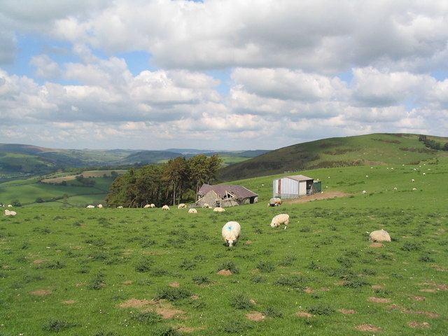
Skyborry Green is a hamlet consisting of a small number of houses and a farm in Shropshire, England, 2 miles (3 km) northwest of Knighton. The hamlet population taken at the 2011 census can be found under Llanfair Waterdine. The Welsh border lies very close.
Map of Skyborry Green, Knighton, UK
The name is an anglicisation of the Welsh for barn - ysgubor.
Skyborry Green lies at between 180m and 200m above sea level on the northern (English) side of the Teme valley. Nearby is Monaughty Poeth farm. The River Teme runs to the south of the hamlet. The Welsh border roughly follows the river here.
Less than 1 mile (2 km) southeast is the hamlet of Nether Skyborry. To the northwest is the small village of Llanfair Waterdine and the Welsh village of Knucklas, which has an ancient castle mound monument and railway station, is to the west.