
OS grid reference SO272740 Post town KNIGHTON Local time Friday 5:09 PM | Sovereign state United Kingdom Postcode district LD7 Dialling code 01547 | |
 | ||
Weather 11°C, Wind NE at 18 km/h, 62% Humidity | ||
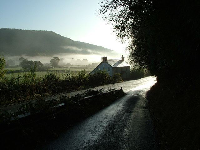
Nether Skyborry is a hamlet consisting of six houses in Shropshire, England, one mile northwest of the town of Knighton.
Map of Nether Skyborry, Knighton, UK
The Welsh border lies very close - the River Teme runs to the south of the hamlet. The Welsh border is just on the other side of the river (but no longer follows the exact course of the river).
The name "Skyborry" is an anglicisation of the Welsh for barn, ysgubor. "Nether" is English and means near or under. The hamlet is downstream of the other hamlet with the Skyborry place name (Skyborry Green - less than 1 mile (2 km) northwest) and it is sometimes referred to as "Lower Skyborry".
Nether Skyborry lies 190–210 metres (620–690 ft) above sea level, on the northern (English) slope of the Teme valley.
References
Nether Skyborry Wikipedia(Text) CC BY-SA