
Population 225 (2011 Civil parish Llanfair Waterdine Local time Thursday 11:13 AM | OS grid reference SO240764 Dialling code 01547 | |
 | ||
Weather 6°C, Wind NE at 19 km/h, 91% Humidity | ||
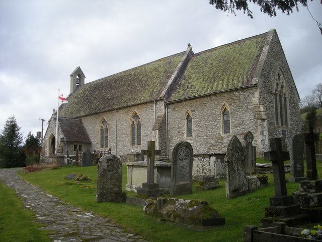
Llanfair Waterdine, sometimes written as Llanvair Waterdine and meaning St Mary's Church Waterdine, is a small village and civil parish in Shropshire, England, on the north side of the Teme valley and adjacent to the Wales-England border.
Contents
- Map of Llanfair Waterdine Knighton UK
- Place name
- Location
- Amenities
- Walking
- Famous and former residents
- References
Map of Llanfair Waterdine, Knighton, UK
Place name
"Llanfair" is a typical Welsh place name - in English it translates as "church(yard) of St Mary". "Waterdine", which means "place by the water" was added to the name to distinguish the village from other places called "Llanfair" (which is a very common place name in Wales). The place name in the Welsh language is Llanfair Dyffryn Tefeidiad (the 2nd and 3rd words mean "Teme Valley").
Location
Llanfair Waterdine is just off the B4355 road, 6 km or 4 miles northwest of Knighton and near the village of Knucklas, which has a railway station. The village lies 7 km or 4.5 miles southwest of the small Shropshire town of Clun. Also nearby is the small village of Lloyney (just on the other side of the Teme, in Wales). The village and parish is situated on the southern edge of the Clun Forest, a remote and very rural part of Shropshire, which is only partly forested.
The village was historically in Wales, as it lies to the west of Offa's Dyke. The River Teme has naturally altered its course since the Laws in Wales Acts 1535–1542 ("Act of Union"); and so the border between Wales and England in the Teme valley no longer follows the centre of the river as it once did, but stays on what was the course of the river when the border was fixed by the Acts.
Amenities
Walking
The village lies near three long distance footpaths: