
Population 192 (2011 census) Civil parish Skirpenbeck Local time Thursday 4:17 PM | OS grid reference SE746570 Dialling code 01759 | |
 | ||
Weather 10°C, Wind NE at 26 km/h, 66% Humidity | ||
Skirpenbeck is a village and civil parish in the East Riding of Yorkshire, England. It is situated 2 miles (3.2 km) north-west of Stamford Bridge just north of the A166 road.
Map of Skirpenbeck, York, UK
According to the 2011 UK census, Skirpenbeck parish had a population of 192, an increase on the 2001 UK census figure of 142.
Skirpenbeck is near Stamford Bridge, over the River Derwent, near where King Harold of England defeated Harald Hardrada King of Norway in 1066. Its first baron was Sir William de Chauncy, son of Chauncy de Chauncy.
There are a number of working farms in the village. The number having reduced by four all of which have been subject to property development.
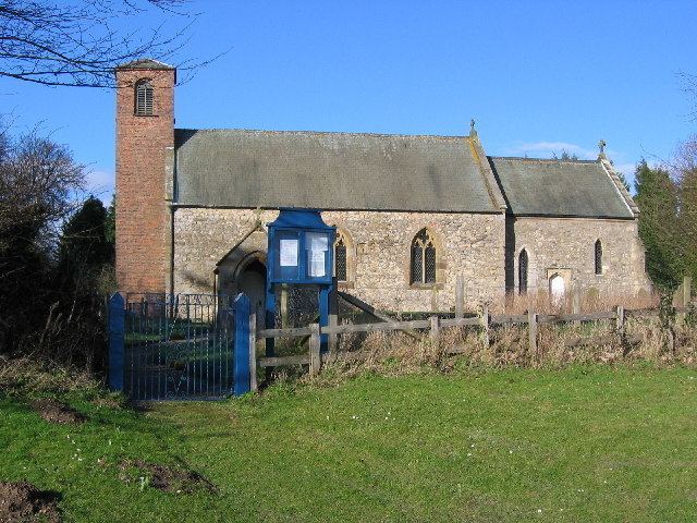
The parish church of St Mary's is a Grade II* listed building.
There are markings on the church building (near the bell tower) that appear to be Saxon runes.
Alick Walker the palaeontologist was born in Skirpenbeck.