
Population 4,103 (2001) Sovereign state United Kingdom Local time Thursday 12:28 PM | OS grid reference SE522102 Dialling code 01302 | |
 | ||
Weather 12°C, Wind NE at 27 km/h, 64% Humidity | ||
Skellow is a village in rural South Yorkshire part of the Metropolitan Borough of Doncaster, England. Historically part of the West Riding of Yorkshire, the village is roughly six miles north-north west of Doncaster. The village falls in the Askern Spa Ward of Doncaster MBC. To the north and south is mixed farmland, the A1 runs immediately along the western edge of the village, and to the east Skellow merges with the adjacent village of Carcroft along the B1220.
Contents
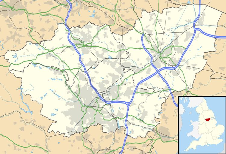
Map of Skellow, Doncaster, UK
Geography
The village derives its name from the River Skell which flows from the nearby village of Skelbrooke, through the locally named 'Five Lanes End' area of Skellow where it joins the Ea Beck, a tributary of the River Don, of which it joins near the former Thorpe Marsh Power Station at Barnby Dun. The village lies on the north side of the east-west Ea Beck valley. To the north-east with access from the village is Burghwallis.
Skellow is well served for open public spaces, with a range of small and medium-sized parks scattered through both the modern housing estates to the west and the older former council estates which border Carcroft. Today most of the western half of Skellow is occupied by a patchwork of late 20th century housing estates.
History
During the English Civil War, Cromwell placed a cannon battery at the village to protect the Great North Road. The mounds for the cannon still remain and the surrounding area of cottages and 15th century inn (now known as the 'Bridge House') remain to this day.
On the east bank of the Skell lies old Skellow, a cluster of older houses facing Skellow Hall. The hall was originally built in 1642 and is now in use as a residential care home for the elderly.
Godfrey Higgins was the son of the owner of much of the land, known as Skellow Grange, of what is now Skellow village.
Coal mining
Further east is a sizeable former council housing estate which is in a generally good state of repair, and a good example of the coal mining related social housing developments typical of southern part of the West Riding in the early to mid-20th century. This area is the heart of the village, containing most of the local amenities including various shops and the local primary school. Several local clubs exist on the sites of former working men's clubs, and the area has an active local nightlife including live music events.
Coal mining in the area ceased in the 1980s but some remnants from the industry are visible in the area, including winding wheel relics at Bullcroft. Demographic evidence of the former mining community is also evident in both higher than average levels of unemployment, and a strong sense of community with residents knowing their neighbours and those that live around them.