
Lowest elevation 0 m (0 ft) Postal code 190 15 Local time Thursday 12:09 PM | Highest elevation 8 m (26 ft) Time zone EET (UTC+2) Vehicle registration ZB-ZY Area code 22950 | |
 | ||
Weather 21°C, Wind N at 21 km/h, 32% Humidity | ||
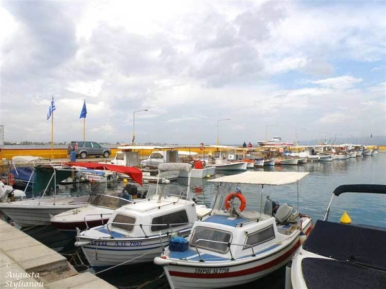
Skala Oropou (Greek: Σκάλα Ωρωπού meaning "Ladder of Oropos") is a community in East Attica, Greece, on the South Gulf of Euboea, due north of Athens. Since the 2011 local government reform it is part of the municipality Oropos, of which it is a community.
Contents
Map of Skala Oropou 190 15, Greece
Geography
Skala Oropou is a seaside town, situated on the south coast of the South Euboean Gulf. The town Nea Palatia is directly adjacent to its east. It is 8 km south of Eretria (on the island Euboea), and 38 km north of Athens. The Greek National Road 79 connects it with Motorway 1 near Malakasa. The mouth of the river Asopos lies between Skala Oropou and the western village Chalkoutsi. The community has a land area of 12.398 km² and a total population of 4,146 inhabitants (2011 census).
Subdivisions
References
Skala Oropou Wikipedia(Text) CC BY-SA