
Governing body U.S. Forest Service Nearest city Crescent City | Area 3,875 km² Established 1947 | |
 | ||
Website Six Rivers National Forest Management United States Forest Service | ||
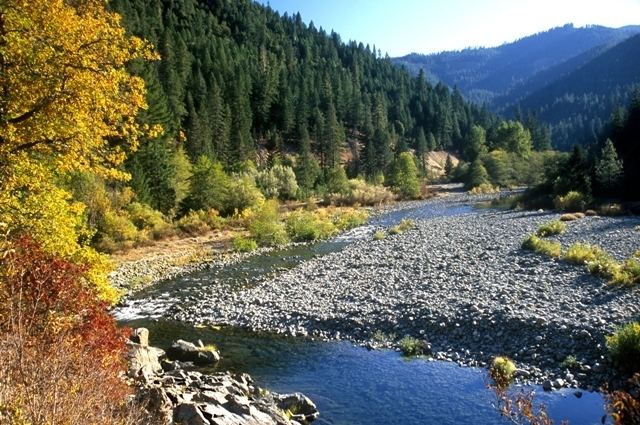
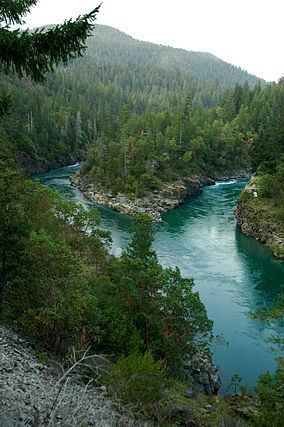
Six Rivers National Forest is a U.S. National Forest located in the northwestern corner of California. It was established on June 3, 1947 by U.S. President Harry S. Truman from portions of Klamath, Siskiyou and Trinity National Forests. Its over one million acres (4,000 km2) of land contain a variety of ecosystems and 137,000 acres (550 km2) of old growth forest. It lies in parts of four counties; in descending order of forestland area they are Del Norte, Humboldt, Trinity, and Siskiyou counties. Six Rivers is named after the six major rivers that pass near or through the forest and include:
Contents
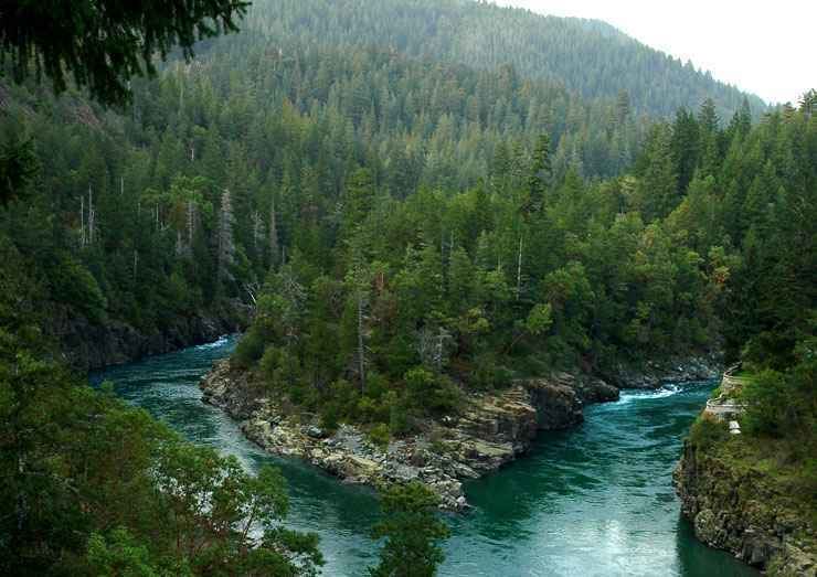
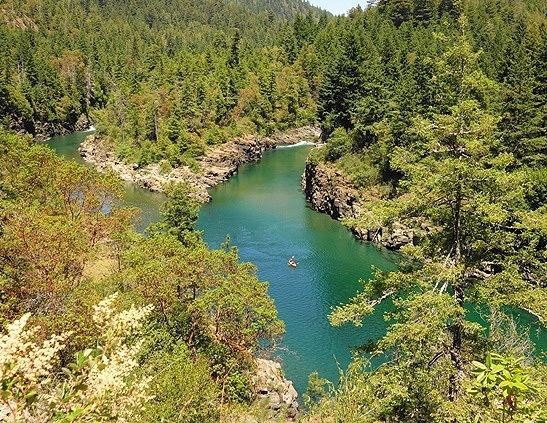
The forest has 366 miles (589 km) of wild and scenic rivers, six distinct botanical areas, and public-use areas for camping, hiking, and fishing. The northernmost section of the forest is known as the Smith River National Recreation Area. Forest headquarters are located in Eureka, California. There are local ranger district offices in Bridgeville, Gasquet, Orleans, and Willow Creek.
Its old-growth forests include Coast Douglas-fir (Pseudotsuga menziesii var. menziesii), Tanoak (Lithocarpus densiflorus), Pacific madrone (Arbutus menziesii), and White Fir (Abies concolor).
Six rivers national forest july 14 2016 hd
Wilderness areasEdit
There are five designated wilderness areas in Six Rivers National Forest that are part of the National Wilderness Preservation System. Two of them lie mostly in other National Forests or on Bureau of Land Management land.