
Country United States Time zone CST (UTC-6) Area 95.39 km² Population 3,885 (2010) | Established November 4, 1884 Elevation 121 m Local time Thursday 2:11 AM | |
 | ||
ZIP codes 62865, 62896, 62983, 62999 Weather 6°C, Wind E at 10 km/h, 44% Humidity | ||
Six Mile Township is one of twelve townships in Franklin County, Illinois, USA. As of the 2010 census, its population was 3,885 and it contained 1,741 housing units.
Contents
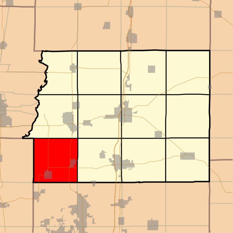
- Map of Six Mile Township IL USA
- Geography
- Cities towns villages
- Unincorporated towns
- Cemeteries
- Major highways
- Airports and landing strips
- Lakes
- School districts
- Political districts
- References
Map of Six Mile Township, IL, USA
Geography
According to the 2010 census, the township has a total area of 36.83 square miles (95.4 km2), of which 36.14 square miles (93.6 km2) (or 98.13%) is land and 0.69 square miles (1.8 km2) (or 1.87%) is water.
Cities, towns, villages
Unincorporated towns
(This list is based on USGS data and may include former settlements.)
Cemeteries
The township contains these fourteen cemeteries: Browning, Butler, Dawson, Miners (Old), Miners (New), Moyers, Osage, Saint Aloysius, Saint Andrews, Saint Marys, Vaughn, Wells, Zeigler (Old), and Zeigler (New).
Major highways
Airports and landing strips
Lakes
School districts
Political districts
References
Six Mile Township, Franklin County, Illinois Wikipedia(Text) CC BY-SA