Country India District Kurnool Vehicle registration AP 21 Local time Thursday 6:45 AM | State Andhra Pradesh Time zone IST (UTC+5:30) Elevation 201 m | |
 | ||
Weather 24°C, Wind SE at 3 km/h, 74% Humidity | ||
Sirvel is a mandal in Kurnool district of Andhra Pradesh, India.
Contents
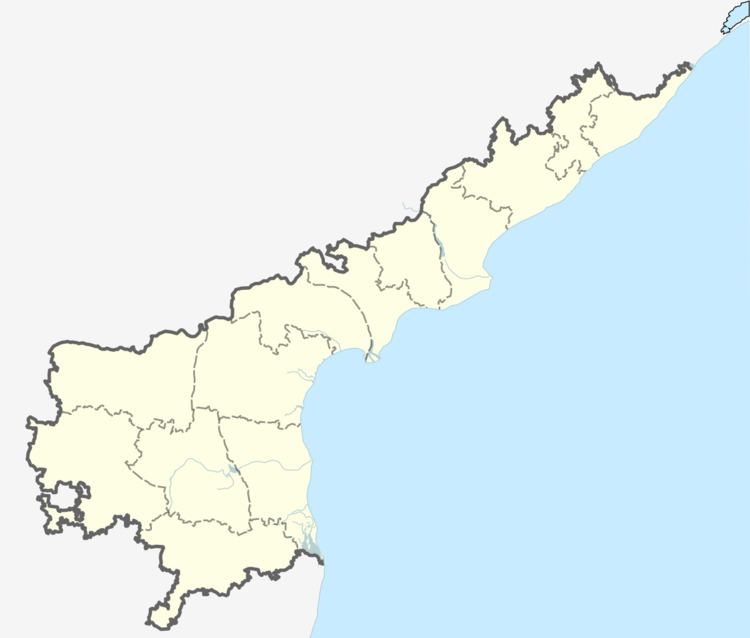
Map of Sirvella, Andhra Pradesh 518563
Geography
Sirvel is located at 15.3167°N 78.5333°E / 15.3167; 78.5333. It has an average elevation of 201 meters (800 feet).
History
The Ancient name of Sirivella is Sirivelluva. A Muni (Sage) who was travelling from Mahanandi to Tirupathi Venkateshwara temple, stayed in this place for some time to take rest. Muni, with his 6th sense came to know that this place is a Treasure of wealth & named the place as Sirivelluva (Stream of Treasure). Later on the name changed to Sirivella. Officially the name is written as Sirvel since British rule. Till 1956, Sirivella was a Thaluk. Later on it is changed as Mandal.
Villages
Sirvel Mandal comprises these villages,
- GUMPARAMANDINNE
- RAJANAGARAM
- JEENE PALLE
- VANIKEMDINNE
- KOTAPADU
- KAMINENI PALLE
- CHENNURU
- MOTHUKULAPALLY
- ISUKAPALLI
- GOVINDAPALLI
- GANGAVARAM
- BOYALAKUNTLA
- GUNDAMPADU
- VEERAREDDYPALLY
- KADARABADARA
- YERRAGUNTLA
- VENKATAPURAM
- MAHADEVAPURAM
- PACHHARLA
References
Sirvel Wikipedia(Text) CC BY-SA
