
Country India PIN 502372 Elevation 514 m | Time zone IST (UTC+5:30) Telephone code +91-8457 Local time Thursday 5:59 AM | |
 | ||
Weather 23°C, Wind SW at 10 km/h, 46% Humidity | ||
Sirisinagandla is a village (gram panchayat) in Kondapak Mandal, Medak district in the Indian state of Telangana, India.
Contents
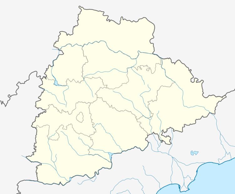
Map of Sirisinagandla, Telangana 502372
Geography
Sirisinagandla is located 90 km north of Hyderabad, which is the state capital of Telangana, and 12 km south of Siddipet, another village. It has an average elevation of 514 meters (1686 feet). It is well connected by the road that leads to Siddipet / Rajeev Gandhi Highway / Hyderabad.
Demographics
There is currently no recent census in Sirisinagandla.
Education
Sirisinagandla has two Government schools: the Primary School and Zilla Parishad High School (ZPHS) in Telugu and English at medium level. It also has a recently built large private high school in Kondapak Mandal in the Medak district.
The students who graduate from schools in Sirisinagandla are working in different positions in government and private sectors as engineers, doctors, teachers etc., and few people are working internationally as engineers.
People and Culture
People in the village are mostly dependent on agriculture and women make beedis.
Telugu is the language spoken by the majority of the population of Sirisinagandla. In Sirisinagandia, both traditional attire like Saree and Dhoti and modern dress styles are worn. There are several Hindu temples, mosques (masjid), and churches.