
Admin. region Darmstadt Time zone CET/CEST (UTC+1/+2) Population 9,317 (30 Jun 2009) Postal code 36391 | District Main-Kinzig-Kreis Area 111.8 km² Local time Wednesday 7:09 PM Administrative region Darmstadt | |
 | ||
Elevation 220 - 585 m (−1,699 ft) Weather 5°C, Wind E at 11 km/h, 88% Humidity | ||
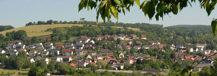
Sinntal is a municipality in the Main-Kinzig district, in Hesse, Germany. It has a population of around 8,900.
Contents
Map of Sinntal, Germany
Location
Sinntal is located around 30 km south of Fulda in the Main-Kinzig district of Hesse.
The municipal territory lies at elevations between 220 and 585 m above NHN. It includes area in the Mittelgebirge Spessart and Rhön.
Sinntal is located right at the border between Hesse and Bavaria. It stretches across the valley of the Sinn river from which it takes its name.
Subdivisions
Sinntal consists of the following Ortsteile:
Neighbouring communities
Sinntal borders on (from the north, clockwise): Kalbach (Hesse), Motten, the unincorporated area Mottener Forst-Süd, Bad Brückenau, Zeitlofs, the unincorporated area Roßbacher Forst, Obersinn (all Bavaria), the unincorporated area Gutsbezirk Spessart (Hesse) and Schlüchtern (Hesse).
Governance
The mayor of Sinntal is Carsten Ullrich.
Transport
Sinntal lies on the Hanover-Würzburg high-speed rail line. Germany's longest tunnel, the Landrücken Tunnel is located in the northern part of the municipal territory.
The closest motorway is the Bundesautobahn 7. The nearest interchange is "Bad Brückenau".