
Country Montenegro | Elevation 2,277 m | |
 | ||
Similar Bjelasica, Biogradska Gora, Tara, Prokletije, Bobotov Kuk | ||
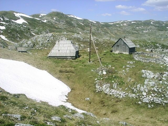
Sinjajevina ([sǐɲajɛʋina]; also known as Sinjavina, [sǐɲaːʋina]) is a mountain in northern Montenegro. The highest point of Sinjajevina is Torna, which is 2,277 m (7,470 ft) high.
Contents
Map of Sinjajevina, Montenegro
Features
Sinjajevina Mountain stretches from SE to NW, between town of Kolašin and village of Njegovuđa, near Žabljak. The massif is 40 km long and 15 km wide.
Geologically, its composition is cretaceous limestone. The high mountain plain averages 1,600 m (5,249 ft) in height, with only a few peaks of higher elevation.
Peaks
The highest peaks of Mt Sinjajevina are:
Lakes
Mt Sinjajevina is home to two lakes, both in a process of natural extinction:
References
Sinjajevina Wikipedia(Text) CC BY-SA