
Population 192 (2011) Sovereign state United Kingdom Local time Wednesday 5:40 AM District Tynedale | OS grid reference NY875735 | |
 | ||
Weather 0°C, Wind NE at 13 km/h, 97% Humidity | ||
Simonburn is a small human settlement in Northumberland, England.
Contents
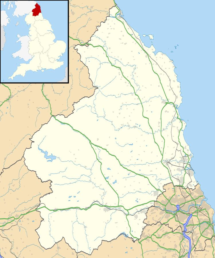
Map of Simonburn, Hexham, UK
Early history
Simonburn lies to the north of Hadrian's Wall, the most noted Roman monument in Britain. The history of that wall as well as the Roman Stanegate forms the earliest recorded history of the Simonburn vicinity. The length of Hadrian's Wall is 117 kilometres, spanning the width of Britain; the wall incorporates the Vallum, a rearward ditch system, and was constructed chiefly to prevent harrying by small bands of raiders and unwanted immigration from the north, not as a fighting front for a major invasion.
Landmarks
Nunwick Hall is a privately owned 18th-century country house nearby. The house is a Grade II* listed building.
The medieval parish church of Saint Mungo was built on a slope the steepness of which was not adequately allowed for by the architect. The floor of the nave has a distinct gradient as a result.
Simonburn Castle was held by the Herons of Chipchase from the 14th century until it was sold in 1718. The castle was subsequently dismantled by treasure hunters.