
Airport type Public Elevation AMSL 9,246 ft / 2,818 m 1,801 Black Topped Elevation 2,818 m | 549 1,801 Code IMK | |
 | ||
Simikot airport
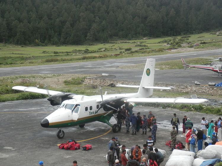
Simikot Airport (IATA: IMK, ICAO: VNST) is an airport serving Simikot, a town in the Humla district of the Karnali zone in Nepal. This airport has recently been surfaced.
Contents
Facilities
The airport resides at an elevation of 9,246 ft (2,818 m) above mean sea level. It has one runway which is 549 m (1,801 ft) in length. The runway has recently been improved and extended with more infrastructure being built. As a result of this construction the parking facilities and terminals also have seen some improvement.
Airlines and destinations
Pilgrims and Trekkers bound for Lake Manasarovar and Mount Kailash in China's Tibet Autonomous Region fly into Simikot and proceed to the international border at Hilsa on foot or by helicopter.
Accidents and incidents
References
Simikot Airport Wikipedia(Text) CC BY-SA