
Topo map USGS Mohawk Mine | Elevation 2,880 m Country United States of America | |
 | ||
Similar Westgard Pass, Kawich Range, Boundary Peak, Inyo Mountains, White Mountains | ||
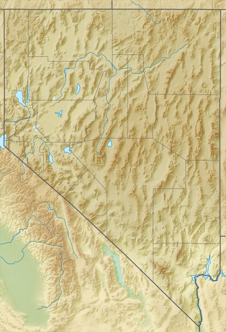
The Silver Peak Range is a mountain range in southwest Esmeralda County, Nevada.
Contents
Map of Silver Peak Range, Nevada, USA
Geography
The Range forms the east and southeast side of Fish Lake Valley. The towering White Mountains lie across the valley to the west and southwest. The Palmetto Mountains are to the south.
Piper Peak, Red Mountain, and Emigrant Peak are in the range.
References
Silver Peak Range Wikipedia(Text) CC BY-SA